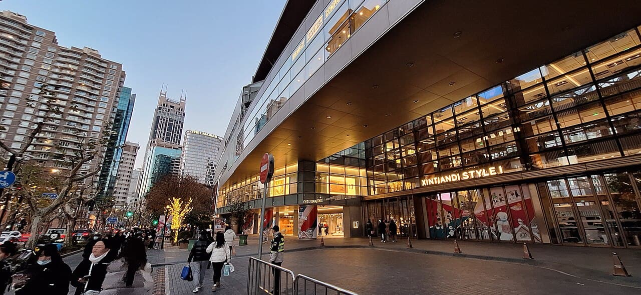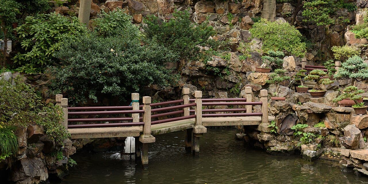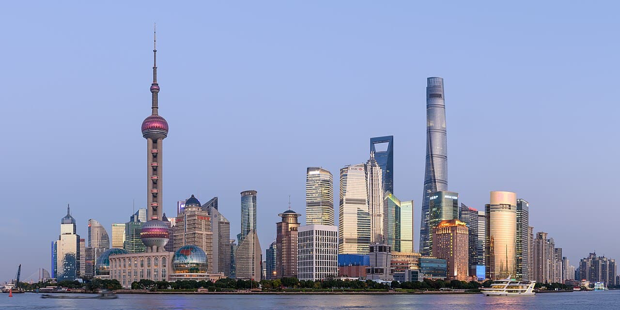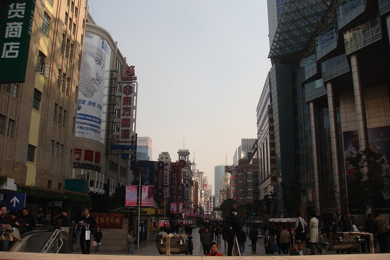
Nanjing Road is not one uniform shopping street. East Nanjing Road carries the pedestrian section and its dense mix of department stores, new brand spaces, signs and time-honoured businesses. People's Square interrupts the commercial line with civic and cultural institutions, including Shanghai History Museum on West Nanjing Road. Farther west, the Jing'an section shifts toward offices, large retail complexes, historic villas, apartments and the adapted shikumen lanes of Zhangyuan.
Walking the whole name on a map without understanding those changes produces fatigue, not insight. This feature treats Nanjing Road as a cross-section of modern Shanghai commerce: a route from riverfront trade to department-store culture, civic centre, heritage reuse and contemporary retail. Business tenants and opening hours change, so examples should be confirmed through current official maps and venue pages. The historical structure is more durable than any list of shops.
At a glance
Start here
- Treat East Nanjing Road, People's Square and West Nanjing Road as distinct chapters.
- Use the pedestrian section to compare old department-store scale with current retail.
- Use Shanghai History Museum to add evidence before continuing west.
- End with Jing'an's contrast between towers, villas and restored lane fabric.
01
A road made by movement and commerce
The official tourism account traces Nanjing Road to a route connecting the Bund with the former racecourse after Shanghai opened as a port. It later became a setting for department stores and modern retail. That origin explains the road's east-west logic: goods, people and ideas moved inland from the river, and commercial buildings followed.
Begin near the Bund only if that historical connection is the purpose. Look back toward the waterfront, then west along the commercial axis. Do not claim that every existing shop is old; tenants and facades have changed repeatedly. The durable story is the road's role as a retail corridor and a laboratory for new commercial forms. Current flagship stores and entertainment concepts are another chapter, not proof of uninterrupted business continuity.
- Start at the Bund for the river-to-retail relationship.
- Separate the age of the street from the age of a tenant.
- Look for changing commercial building types.
02
Read the pedestrian street as a retail stage
The East Nanjing Road pedestrian section concentrates shopping, signs, traditional department stores and newer consumer formats in a public promenade. Municipal sources describe it as a place where established businesses and current brand experiences coexist. The absence of through traffic in the central section turns facades, shop windows and crowds into the dominant streetscape.
Choose one comparison instead of entering every mall. Compare an older department-store building with a newer retail complex, or compare a time-honoured food business with a current themed store after verifying both. Note how entrances, vertical signs and upper floors address walkers. Purchases are optional; the street is already useful as evidence of how commerce performs identity in public space.
- Compare one older and one newer retail building.
- Observe signs, entrances and upper-floor uses.
- Verify any named business before describing it as current.
03
Use the official map critically
Huangpu district introduced a multilingual Nanjing Road visitor map that combines street history, established brands, food, souvenirs, malls and nearby metro-linked attractions. It is a useful orientation tool because it shows how the district wants international visitors to move through the area. Its availability points and business entries, however, are mutable.
Use the latest digital or physical edition for navigation, then check an important shop or service directly. A map published for visitors is both practical information and a piece of city marketing: it highlights some histories and routes while leaving others in the background. Comparing the map with what is visible on the street turns it into evidence rather than an unquestioned checklist.
- Get the current edition if available.
- Verify priority businesses and services directly.
- Notice what the official visitor story chooses to highlight.
04
Pause at People's Square for city context
People's Square breaks the retail sequence with civic space and cultural institutions. Shanghai History Museum at 325 West Nanjing Road presents the city's development from ancient settlement through the modern metropolis. Its official profile identifies collections related to industry, maps, urban life and commerce, making it a useful evidence stop before continuing west.
Do not attempt a full museum visit as a casual detour if Nanjing Road is already a long walk. Either make the museum the day's main indoor anchor or use its official online introduction to select a focused visit. The point is to connect street observation with documented history. A department-store facade becomes more meaningful when placed beside evidence of textile production, changing transport, urban plans and everyday consumption.
- Make the history museum an anchor or skip the interior.
- Link retail facades to documented urban development.
- Check the museum's current visitor information.
05
Notice the westward shift in scale
West of People's Square, Nanjing Road becomes less like a continuous pedestrian mall and more like a major urban avenue. The official heritage-zone profile traces West Nanjing Road's growth beside the former racecourse and Jing'an Temple route, then describes early twentieth-century villas, courtyards and apartments within today's dense commercial district.
The contrast is the subject. Large offices and retail complexes stand near quieter lanes and protected buildings. Do not expect the same walking rhythm as East Nanjing Road; crossings are longer and destinations more dispersed. Select one western heritage cluster, such as Zhangyuan or a documented apartment area, and use the metro if the connecting avenue adds no new observation.
- Expect an avenue, not a continuous pedestrian street.
- Choose one western heritage cluster.
- Use transit when the in-between section is not part of the question.
06
Read Zhangyuan as heritage reuse
The West Nanjing Road heritage profile identifies Zhangyuan as a renovated cluster where historic lane buildings now support public space, fashion and shopping. That makes it a useful counterpart to the pedestrian street: commerce here is presented through intimate brick lanes rather than a broad retail axis.
Look for the change in scale, but do not describe the complex as an untouched residential neighbourhood. Current uses and public access reflect redevelopment. Compare it with the shikumen discussion in the related historic-streets feature, then keep claims to what official signs document. A polished lane can preserve architectural fabric while changing who lives, works or shops there; both preservation and functional change belong in the account.
- Compare broad retail axis with intimate lane scale.
- Recognise the site's current commercial adaptation.
- Use official plaques for building-specific claims.
07
Choose a three-chapter route
A coherent Nanjing Road day has three chapters: East Nanjing Road for the pedestrian retail stage, People's Square for civic and historical context, and one West Nanjing Road cluster for the contrast between contemporary business and protected residential fabric. The route is editorial, and the metro can replace any connecting stretch that feels repetitive.
Before leaving, check the official map, museum access and any priority business. During the walk, record one observation in each chapter: how commerce addresses the pedestrian, how the city explains its own history, and how heritage is reused in the western district. End there. Adding Yuyuan, the full Bund, Xintiandi and Lujiazui to the same day would turn a specific commercial-history feature into a generic attractions sprint.
- Chapter one: East Nanjing Road retail form.
- Chapter two: People's Square civic context.
- Chapter three: one Jing'an heritage cluster.
Useful answers
Reader questions
Is all of Nanjing Road pedestrian-only?
No. The best-known pedestrian section is on East Nanjing Road. West Nanjing Road functions as a major avenue with dispersed malls, offices and heritage clusters.
Sources: Shanghai Municipal People's Government; Shanghai Municipal People's GovernmentWhere can I learn the history behind Nanjing Road?
Shanghai History Museum on West Nanjing Road provides wider city history, while the official Nanjing Road visitor materials explain the commercial corridor and its current landmarks.
Sources: Shanghai Municipal People's Government; Shanghai Municipal Administration of Culture and Tourism; Huangpu District People's GovernmentIs Zhangyuan an unchanged shikumen neighbourhood?
No. The official heritage profile describes it as a renovated historic cluster now used for public space, fashion and shopping. Read it as adaptive reuse.
Sources: Shanghai Municipal People's GovernmentDo I need to walk Nanjing Road from end to end?
No. Select East Nanjing Road, People's Square and one western cluster, using the metro for repetitive connecting distance. The purpose is comparison, not total mileage.
Sources: Shanghai Municipal Administration of Culture and Tourism; Shanghai Municipal People's Government; Shanghai Municipal People's GovernmentRead the evidence
Sources and further reading
These sources support the relevant sections above. Plans and comparisons are editorial suggestions. Check operators for current arrangements.
- Nanjing Road ↗Shanghai Municipal Administration of Culture and Tourism · Accessed 14 September 2026
Nanjing Road's origin as a Bund-to-racecourse route, department-store and commercial development and present mix of established and new retail.
- Nanjing Road Pedestrian Street ↗Shanghai Municipal People's Government · Accessed 14 September 2026
The East Nanjing Road pedestrian street's role as a shopping corridor combining traditional department stores, newer retail and night streetscape.
- Shanghai History Museum ↗Shanghai Municipal People's Government · Accessed 14 September 2026
Museum location on West Nanjing Road and collections on Shanghai history, industry, maps, commerce and daily life.
- West Nanjing Road Historical and Cultural Block ↗Shanghai Municipal People's Government · Accessed 14 September 2026
West Nanjing Road's historic route, former racecourse relationship, villas and apartments and Zhangyuan's current heritage-reuse role.
- Nanjing Road introduces art-inspired tourist map in 6 languages ↗Huangpu District People's Government · Accessed 14 September 2026
The multilingual visitor map's coverage of street history, established businesses, food, malls, landmarks and nearby metro routes.